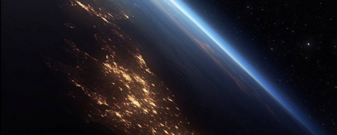
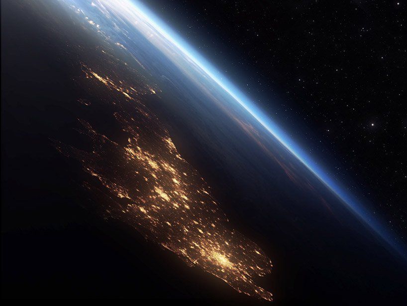
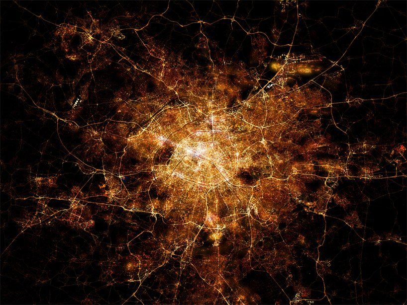
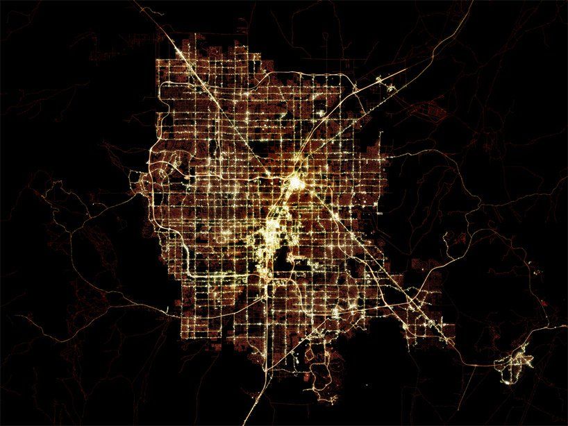
British artist and photographer Marc Khachfe always admired pictures of cities and agglomerations made at night from satellites and the International Space Station. However, there was one problem. When Mark wanted to print his office large banner with the image of the night in London, which made one of the astronauts to the ISS, it turned out that the photo is too blurred and inaccurate. Then he set out to create high quality images of famous cities and conurbations using the open source mapping data by superimposing several images and subsequent techniques in the graphic editors. The result was amazing and wonderful.
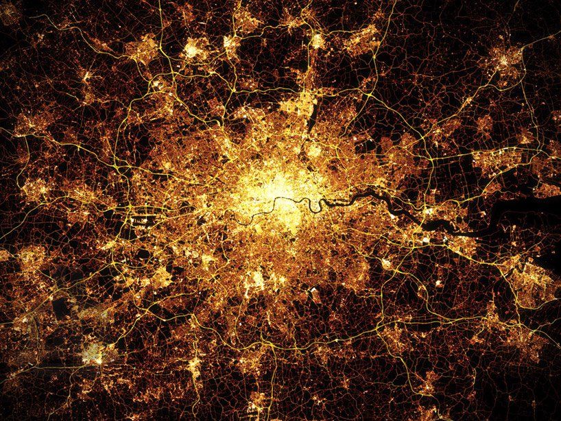
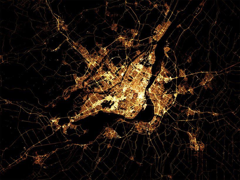
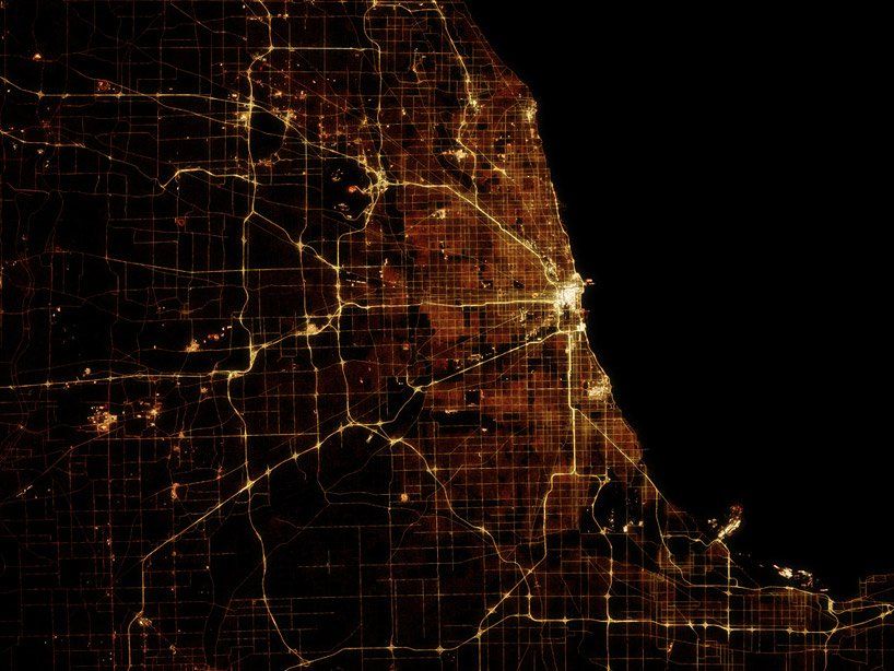
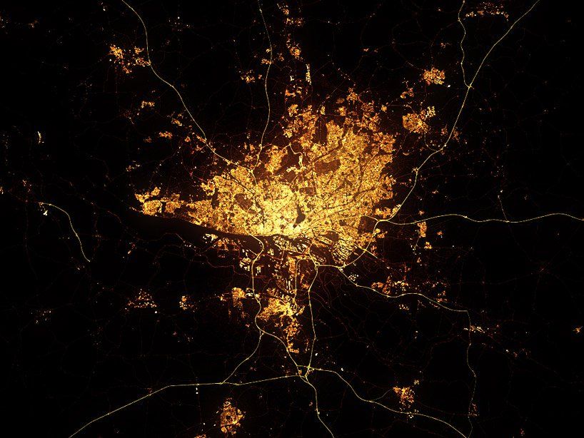
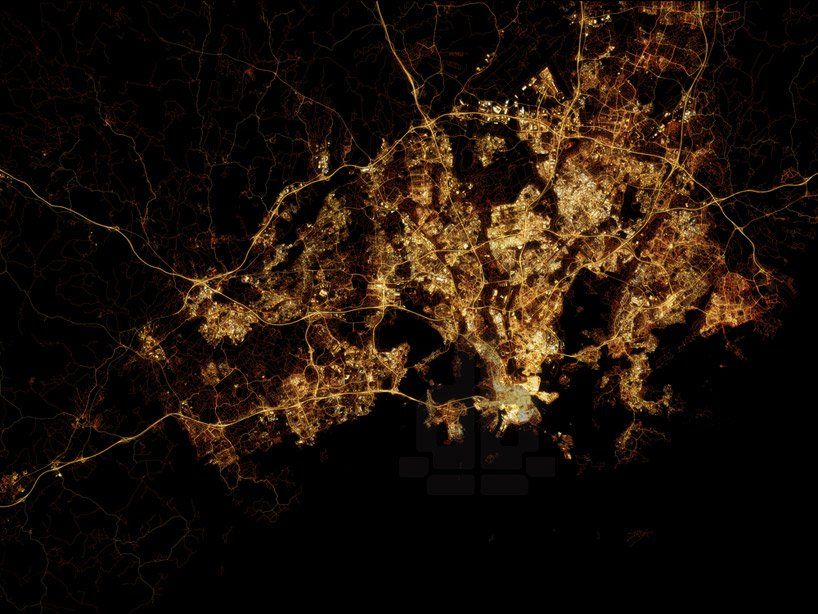
Marc Khachfe says, “About a year ago, I came across OpenStreetMap data; public data on road and infrastructure from cities all around the world. I was blown away by the wealth of info and toyed with it for six months, before I came up with the idea of replicating the astronauts photos.”
“I had wanted to print a big poster of the London night shot, but found them all to be too blurry to use, so I downloaded the London OSM data and created a “light map” that I then layered and shone through the data layers. No images were used at all in creating the maps — but I did look at the real photos for reference.”


Leave a Reply